

Trending Now
 Biofuels in Shipping: A Transitional Solution or Long-Term Strategy?
 8 Reasons Why Trains Are Still One of the Best Ways to Travel
 Interview with Champak Panda, MD-Rolling Stock & Components, Alstom India
 Beyond the Tailpipe: The Case for African Electric Mass Transit
 A Rejected Claim Is Not Always the End, What Car Owners Can Do Next?
 Monsoon Bike Insurance Guide: Covers That Matter before the Rains Begin
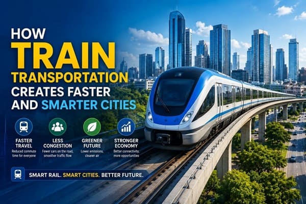 How Train Transportation Creates Faster and Smarter Cities
 PM Modi inaugurates Noida International Airport, Boosting North India’s Multi-Modal connectivity
 Things You Can Do While on Long Train Rides: Stay Productive, Relaxed, and Entertained
 Rail Chamber launches 2026–27 National Membership Drive to strengthen Asia’s Railway Ecosystem
NHSRCL to adopt Aerial LiDAR Survey technique in ground survey for Delhi-Varanasi HSR
Anushka Khare
Posted on: 2020-12-07 17:35:00
Viewer: 4,379
Comments: 0
Country: India
City: New Delhi
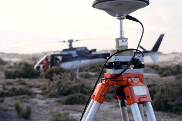 (Image Credit: NHSRCL)
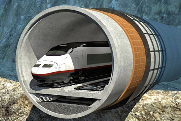
New Delhi, India (Urban Transport News): The National High Speed Rail Corporation Limited (NHSRCL) will be adopting Light Detection and Ranging Survey (LiDAR) technique using Laser enabled equipment mounted on a Helicopter for conducting the ground survey for the preparation of Detailed Project Report for the proposed Delhi-Varanasi High Speed Rail corridor.
The alignment or ground survey is a crucial activity for any linear infrastructure project as the survey provides accurate details of areas around the alignment. This technique uses a combination of Laser data, GPS data, flight parameters and actual photographs to give accurate survey data. Based on the findings of the survey, designing of the vertical & horizontal alignment, structures, location of the stations and depots, Land requirement for the corridor, identification of project affected plots/structures, Right of Way etc are decided.
The aerial LiDAR survey technique, for the first time for any railway project in India, was adopted for the Mumbai- Ahmedabad High Speed Rail Corridor primarily because of its high accuracy. The ground survey using aerial LiDAR for MAHSR alignment was done only in 12 weeks against the 10-12 months it had been done through traditional survey methods.
Keeping in mind, the magnitude of the project and adhering to the timelines to submit the Detailed Project Report of DVHSR corridor, the ground survey using aerial LiDAR technique has already started. Reference points on the ground have already been marked and data collection through equipment mounted on a Helicopter will commence from 13th December 2020 (depending on the weather conditions) in a phased manner. The requisite permissions from the Ministry of Defence for flying the Helicopter have been received and the inspection of the aircraft and equipment is underway.
The proposed Delhi-Varanasi HSR alignment covers mixed terrains including densely populated urban and rural areas, Highways, Roads, Ghats, Rivers, Greenfields etc, which makes this activity more challenging.
NHSRCL has been entrusted with the work of preparing a Detailed Project Report (DPR) for the Delhi-Varanasi HSR Corridor by the Ministry of Railways. The tentative length of the corridor is about 800 km, the alignment and stations will be decided in consultation with the government.
For more details, please explore the Delhi - Varanasi High Speed Rail page of Urban Transport News.


Anushka Khare
Anushka Khare is a Post Graduate in Journalism from Makhanlal Chaturvedi National University of Journalism and Communication, Bhopal (MP). She covers stories and updates from India.